The Clearwater Council directed the administration to proceed with a grant application for $65,000 to complete a Flood Hazard Mapping and Risk Assessment on the Clearwater River. The money comes from the UBCM 2020 Community Emergency Preparedness Fund - Flood Risk Assessment, Flood Mapping, and Flood Mitigation Planning.
Flooding hasn’t been an issue in the Clearwater River area, according to council.
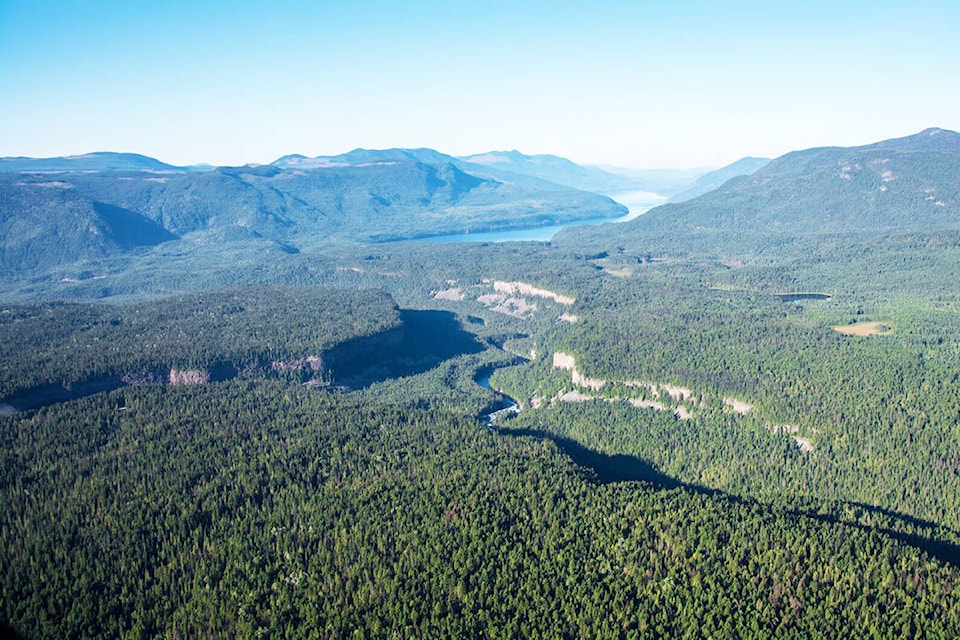
“Upstream there’s potential for landslides and things like that. It was identified by a provincial organization that’s doing work for the provincial government that we had a high risk on the Clearwater River then the North Thompson has been a flood area in the past in the 70s,” said Leslie Groulx, CAO of Clearwater. “So the TNRD (Thompson Nicola Regional District) is going to take on that part.”
As part of the mapping and assessment, there will be hydraulic modelling and parcel scale flood risk estimation with a primary focus on building vulnerability.
Groulx said there’ll be some LiDAR (Light Detection and Ranging), which is a remote sensing method that uses light in the form of a pulsed laser to measure ranges (variable distances) to the Earth. It presents a clearer picture of the information, allowing the team to create a 3D map the area.
“There’ll be a fairly extensive coming out of it, then provide recommendations on how to move forward.”
This idea came through the Fraser Basin Council, and the TNRD will work with them to monitor and complete the report.
Groulx said they aren’t sure if they will get it for sure. The grant application for them was about $65,000 with some funds coming from the Abbot Chapman Report.
The last time there was a flood in the Clearwater area was in 1972.
“That’s why the dike was built, so it’s still a floodplain today.”