In a province enduring a drought from top to bottom, few places are drier than the Cariboo.
When the B.C. snowpack assessment was calculated at the start of April, officials at the Ministry of Water and Land discovered the Quesnel area in particular was one of the lowest in the province. The snowpack around the Quesnel region is 52 per cent of normal, which means the snow volume is almost exactly half of what it usually is.
Next door to the east, the Upper Fraser watershed is at 56 per cent of normal, and to the west the Nechako watershed is at 62 per cent of normal.
These snow subtractions add up to record water deficits in many areas across B.C., and particularly this area.
“Overall, the provincial snowpack is extremely low for April 1st,” said ministry officials. “Nearly all snow basins are at or below 80 per cent of normal, with extremely low snowpack (less than 60 per cent) persisting in the Upper Fraser East, Quesnel, Chilcotin, Central Coast, South Coast, Skagit, Vancouver Island, Skeena, Nass and Liard. Stations at record lows occur in many basins including Upper Fraser East (one snow site), Nechako (three), Bridge (one), Quesnel (three), North Thompson (one), South Thompson (one), Upper Columbia (three), West Kootenay (one), Okanagan (two), Peace (four), SkeenaNass (seven) and Liard (one).”
The three measurement stations in the Quesnel area were Mount Timothy, Granite Mountain, and Yanks Peak East, all setting April 1 benchmarks for lack of snow.
Even more concerning was how in the Quesnel area, the snowpack dropped by 11 percentage points off of normal levels between March and April, meaning the levels were already below usual and the melting and/or failure to accumulate was even worse during the most recent month.
“Monthly precipitation totals were normal for Vancouver Island. The rest of the province measured drier-than-normal conditions with some areas in the North and Interior being very dry. Several locations recorded their 2nd and 4th lowest total March precipitation, including Quesnel, Williams Lake, Prince George, Dease Lake, Chetwynd, Fort St. John and Fort Nelson.
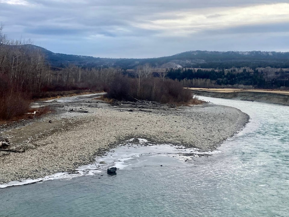
The Quesnel area of the watershed contributes about nine per cent to the overall Fraser River’s volume. That may be different this spring, as the River Forecast Centre is predicting less runoff than usual, and consequently less contribution to the province’s premier river.
READ MORE: As more drought looms, B.C. doesn’t know where all its groundwater is going
READ MORE: POLL RESULTS Are you preparing for drought conditions this summer?