Editor, The Times:
It is about time that we cleared a wide right-of-way each side of the road in Wells Gray Park all the way to Clearwater Lake, including the road to Helmcken Falls.
We need the right of way to be about two tree-lengths wide on each side of the road; it would improve the vision and beauty, we could then see the river, the mountains and the lay of the land.
With cleared, cleaned up and planted to grass, we would then see lots more animals along the road, something which we hardly ever see now. And, last but not least, it would eliminate the extreme danger of wildfires or windstorms trapping someone up the park road.
By putting it out to contract, the value of the trees should pay for the cutting and removal of the trees all along the road right-of-way.
READ MORE: Time to go back to basics on the Geopark proposal
READ MORE: Need recognized for a Clearwater River bridge
It is time that we have new attractions in the park.
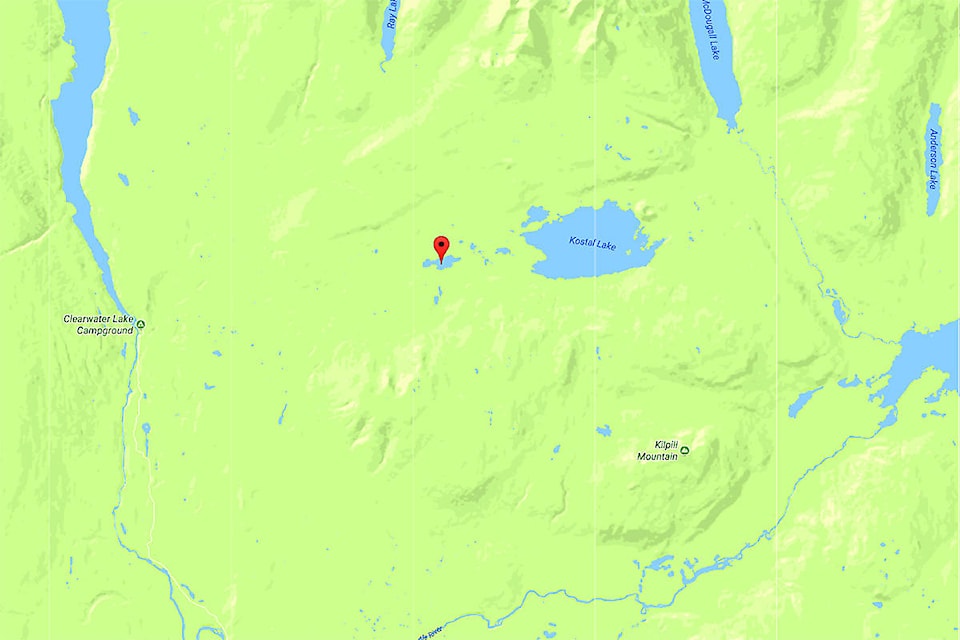
I suggest that a road can be put in to access a new trailhead near Majerus Lake. Put in a good campsite there, something a bit bigger than the Pyramid campground, to be the trailhead so people can hike to many great new destinations.
It would be a short walk to Majerus Lake, an easy hike to Kostal Lake, a bit farther to the Kostal volcano.
Other possible trails would be to Ray Lake, McDougall Lake and Anderson Lake. The old Kostal Lake trail could be easily accessed from there too.
A trail to Murtle Lake would be quite feasible, as the File Creek trail from Murtle Lake comes quite close.
From the campground, Kilpill Mountain would be on the south side, and the rugged and beautiful Goat peaks are on the north side, a great view from the parking lot.
This would expose some more of the beautiful aspects of the park; and it is time that we had a chance to see it.
I suggest that a road could leave the park road near Deer Creek, going north and a bit east to gain some altitude, where you could look out into the valley and see the length of Clearwater Lake; and probably see Mahood Lake as you pass near Lone Spoon Lake, continue climbing up and around the foothills of Kill- Pill Mountain; climbing gently right to Majerus Lake, possibly just a bit beyond so as to be able to see Kostal Lake, and the volcano cone from the campground.
It would be a beautiful drive even before any hiking. It offers an abundance of opportunities to bring visitors back to a previously stale park.
A friend has presented an idea to remedy any possibility of anyone being trapped back in the park. He suggested to put a bridge across the Clearwater River somewhere near Bailey’s Chute or above, and connect a road to the old logging road that is on the west side of the river; follow the old road out past Spanish Lake, and continue out to hookup with the Mahood Lake road.
This would give a fresh new loop tour from 100 Mile House area out to Clearwater by way of Well Gray Park.
At such time, we would need park entrance gates on both ends to sell park passes to all vehicles using the road (with special consideration for local residents).
This road would be a great new experience, as it would pass through the area of the Flourmill Volcanos, and Spanish Lake, probably Hotfish Lake, Mahood Lake and Canim Lake.
The interest in this loop would increase tourist traffic and certainly benefit Clearwater itself.
Glen Small
Clearwater, B.C.