By Times Staff
During a Thompson-Nicola Regional District board meeting held Jan. 18 in Kamloops, Mike Simpson, senior regional manager for the Fraser Basin Council, presented to the board about the council’s Thompson Watershed Flood and Debris Flow Disaster Mitigation Risk Assessment Project.
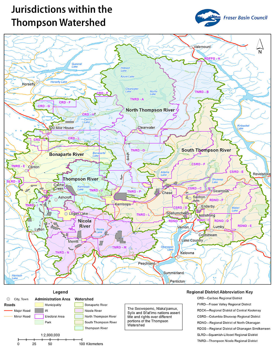
The project will include a watershed-wide risk assessment of flood and land/debris flows covering the entire Thompson River watershed. This will include the drainages of the North Thompson and South Thompson rivers, as well as the Thompson River from Kamloops to the confluence with the Fraser at Lytton.
READ MORE: Fast work saves Second Canyon crossing (May 29, 2014)
The risk assessment will identify flood hazards, potential impacts, and community and infrastructure vulnerabilities as well as the overall flood risk profile for the area. The project will compile existing information on any risk assessments undertaken in the past 15 years, and complete any missing information to have a consistent approach across the entire watershed of regional scale.
It will also identify where more advanced flood mapping or mitigation planning is completed or underway.
It is hoped that the project will have participation from all local and First Nations government in the watershed.
Simpson extended an invitation to the board members to attend a community-to-community meeting to be held in Kamloops in February. Local and First Nations governments from the entire Thompson River watershed are expected to attend.
Budget for the project is $600,000 and targeted completion date is March, 2019.