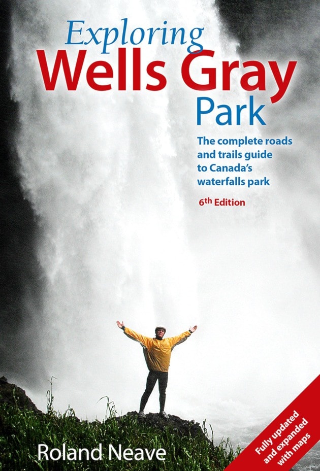
The sixth edition of “Exploring Wells Gray Park” should be on the bookshelves in time for Easter, according to author Roland Neave.
At 400 pages, the new edition will be about 40 pages longer than the last one.
It will have roughly 300 photographs, of which 250 will be in color.
“The quality of the photos is quite incredible. They’re absolutely stunning,” Neave said.
The author said he spent all of last summer hiking every trail in the park to make sure the information is up to date and includes accurate time, distance and elevation change.
Five trails that were in the fifth edition, including that to the bottom of Helmcken Falls and a portion of the  Clearwater River Trail south of Spahats, were not included because of inadequate maintenance.
BC Parks permanently closed the trail to Kostal Lake in 2013, Neave reported.
Officially known as the C.W. Shook Trail after a former park ranger, the trail now runs only to the Dragons Tongue lava flow.
Neave said he tried to follow it from the Dragon’s Tongue last summer and soon found himself taking wide detours to get around extensive deadfalls.
In addition to the trails section, which takes up about a quarter of the book, the new edition of Exploring Wells Gray will include information on the five access routes to the park: Clearwater Valley Road, Clearwater River Road, Mahood Lake, Flourmill Volcanoes, and Murtle Lake.
As in the earlier editions, there will be chapters on the relatively inaccessible northern end of the park plus the park in winter.
One of the interesting tidbits that Neave unearthed while doing research for the new edition was that Green Mountain was not, in fact, named because it was (and is) green, as many have assumed.
In fact it was named in 1912 for Frank Compton Green, a colleague of Robert Lee, a land surveyor who worked at that time in the Upper Clearwater and what is now Wells Gray Park area.
Green had been born in Saint John, New Brunswick, in 1873. He came to B.C. in 1897 and worked as a land surveyor in Nelson. He probably met Lee there.
Green became the province’s surveyor-general in 1930 and served in that role for 16 years. He died in 1963 at the age of 90.
The sixth edition of “Exploring Wells Gray Park” will retail for $24.95.
“That’s up $5 from the fifth edition, but people will be getting a whole lot more,” said Neave.